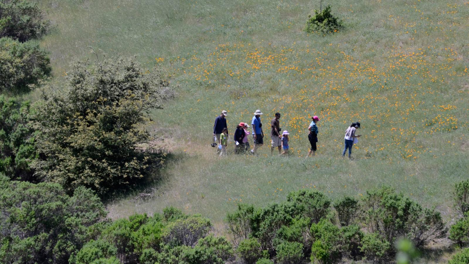
Long-range planning is key to enhancing our visitors' use and experience while also preserving or restoring our natural resources. Policies and guidelines designed in conjunction with master plans and resource management plans provide a blueprint for future decisions and actions that ensure consistency with our mission to "protect and restore the natural environment; and provide opportunities for ecologically sensitive public enjoyment and education."
Open Space Planning
Preserve and site-specific plans are developed to serve as the guiding vision to direct land use and stewardship, natural resource enhancement, and the development of trails, staging areas, and other low-intensity recreational facilities within preserves. Each preserve plan will include a resource management element that provides an inventory and analysis of significant resources, and recommendations for resource management activities. Site-specific resource management plans are intended for areas or preserves that have unique natural conditions or resource issues. Subject-specific resource management plans may be generated to address a high priority or urgent resource protection issue such as endangered species habitat preservation.
The board-approved 2014 Open Space Vision Plan illustrates the vision for a continuous greenbelt and regional trail system. The Vision Plan is an important tool for guiding open space preservation to enhance habitat connectivity and planning connections between Midpen trails and existing regional trail systems to provide visitors with a seamless route through the Bay Area wilderness. Inspired by the vision of a regional open space network linking Midpen preserves to other public parklands, we are active partners with the San Francisco Bay Trail and the Bay Area Ridge Trail.
Plans and Policies In Action
Plans and policies are put into action through our capital improvement program and ongoing stewardship. Project managers prepare designs and specifications for resource protection and restoration, trails and bridges, staging areas, signs, and other improvements and manage the projects through final implementation. Open space projects include public access and preservation and enhancement of natural and cultural resources.
Community Participation
Community participation is an integral part of the planning process. Neighbors, special interest groups and others interested in shaping decisions about how Midpen preserves are enjoyed and managed are encouraged to participate in workshops, attend community meetings and share their ideas at public hearings with the Board of Directors. Visit our Public Meetings page for additional information.
Geographic Information Systems
Planners use the latest GIS and GPS technology to gather and record land and resource information that establishes the foundation for our planning efforts and on-going management of preserves. District-wide resource data is continually collected on vegetation, soils and geology, hydrology, sensitive plants and animals, and cultural resources. These subjects can be analyzed alone and in combination to identify important land management priorities. Visit our GIS Info page for additional information.

