Overview
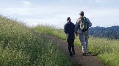
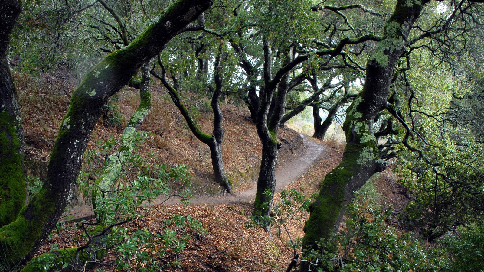
Pulgas Ridge Open Space Preserve is a 366-acre site near the City of San Carlos with trails for hiking and walking one's dog, including an off-leash area. The preserve's six miles of trails offers access to cool canyons and a ridge top with views toward the bay and surrounding hillsides.
Preserve Highlights & Features

Off-leash dog area
Visitors can let their dogs off-leash in the 17.5-acre area located in the center of the preserve, accessible from the Cordilleras Trail, Polly Geraci/Hassler Trails and the Blue Oak Trail. While in this area, visitors must have a leash in their possession and their dog must be under voice control.
Note: Area is fenced and signed at entrances, but there is no fencing around the off-leash area. Dogs must be on a leash when outside of the off-leash area.

Wildflowers
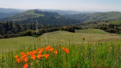
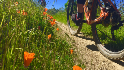
Wandering the trails in early spring, visitors will see many wildflowers, such as Indian warrior, hound's tongue, mule's ears, and milkmaids, in addition to three members of the lily family: fetid adder's tongue, giant trillium, and mission bells. Pulgas Ridge is home to about 90 native species of trees, shrubs, ferns, and flowers.
Stories from the Preserves
")

Join our e-mail list to stay up-to-date on this preserve and other Midpen news!
Know Before You Go
Preserve regulations help provide a safe, enjoyable visit while protecting sensitive areas and wildlife.
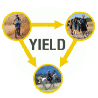
Share the Trail
Use designated trails to avoid damage to natural resources and prevent injury.
Avoid blocking the trail. Step aside to allow others to pass .
Whether you’re walking or biking, always yield to equestrians.
Leave no trace. Pack out what you pack in. Most preserves do not have trash cans. Littering is prohibited.
Abuses of trail etiquette should be brought to the attention of a ranger or call the Midpen main office at 650-691-1200.
Brochures and Resources
Some additional resources to help you enjoy the preserves!