
ALL INFORMATION ON THIS PAGE IS THE MOST CURRENT AVAILABLE.
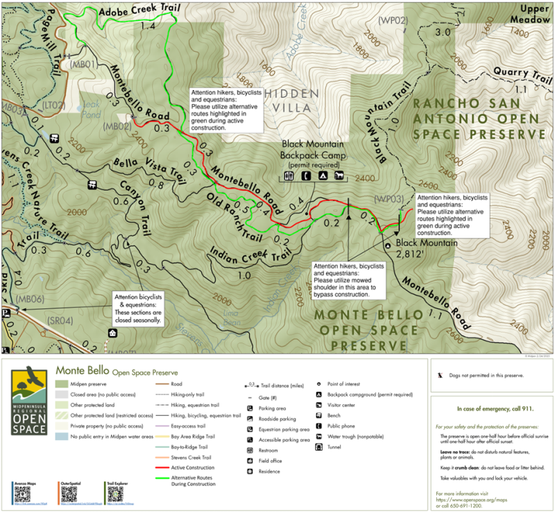
Trail conditions can vary depending on the time of year, the impact of rain and storms, construction and maintenance and other occurrences. Please be aware that trail closures may change from day to day without notice based on current and predicted weather conditions. During winter storm season, high waters can make creek crossings hazardous, so plan your outings accordingly. Hazardous conditions occasionally elicit FULL preserve closures. Please check individual preserve pages for a status update on each preserve. Trail closures are strictly enforced.
Bicyclists and equestrians: To prevent trail damage, please avoid riding dirt trails while it is raining or right after larger storms when there is a lot of standing/running water on the trails.
