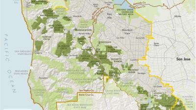
Overview
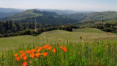
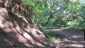
Coal Creek is an ideal place for a quick afternoon hike with one's dog. Several trails can be combined to create a pleasant 2- or 3-mile loop. Views of the San Francisco Bay Area can be seen from the open grassland ridges below the Caltrans vista point parking area.
Preserve Highlights & Features

Waterfall
Seasonal waterfalls can be found in Coal Creek Preserve in the wetter winter months.
Stories from the Preserves
")


Join our e-mail list to stay up-to-date on this preserve and other Midpen news!
Know Before You Go
Preserve regulations help provide a safe, enjoyable visit while protecting sensitive areas and wildlife.
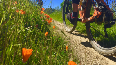
Share the Trail
Use designated trails to avoid damage to natural resources and prevent injury.
Avoid blocking the trail. Step aside to allow others to pass .
Whether you’re walking or biking, always yield to equestrians.
Leave no trace. Pack out what you pack in. Most preserves do not have trash cans. Littering is prohibited.
Abuses of trail etiquette should be brought to the attention of a ranger or call the Midpen main office at 650-691-1200.
Brochures and Resources
Some additional resources to help you enjoy the preserves!