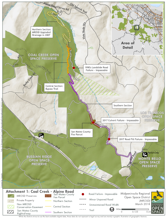
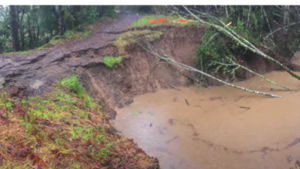
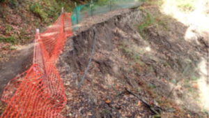
Alpine Road is an old regional road that used to connect the Town of Portola Valley to Page Mill Road. San Mateo County closed this road to vehicular traffic in 1979 due to road degradation and multiple washouts. Since then, there have been multiple culvert failures and washouts that have further degraded the roadbed and added sediment to local waterways, including nearby Corte Madera Creek.
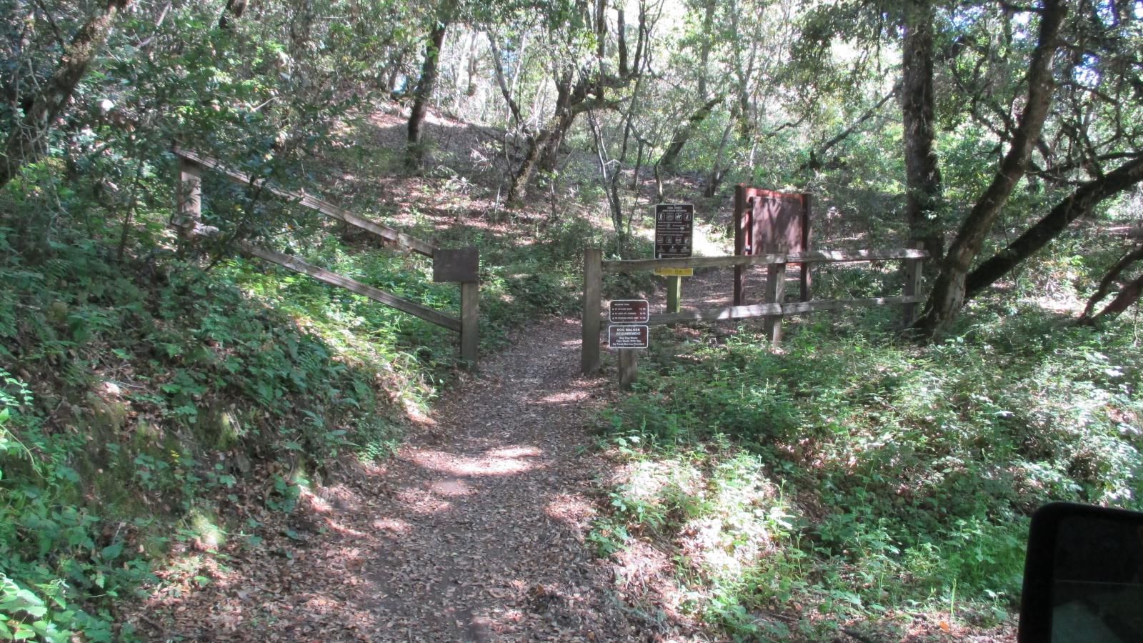
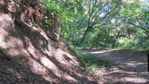
A portion of Alpine Road runs adjacent to and through part of Coal Creek Open Space Preserve, linking to trails within the preserve and serving as an important regional trail connection for cyclists, equestrians and hikers alike.
The Alpine Road Regional Trail Improvement Project has corrected the degraded roadbed and failing culverts to prevent erosion and sedimentation issues, while improving the sustainability and resilience of this important regional trail connection. This project was identified by the community as a top 10 priority in Midpen’s Vision Plan and was funded in part by Measure AA bond funds.
Watch the upcoming OpenRoad episode for a feature on the historic route and its new improvements:


The trail improvements reestablished Alpine Road as a safe connection between Portola Valley and Skyline Boulevard and aim to decrease sedimentation into Corte Madera Creek, protecting wildlife that depend on the watershed for habitat.
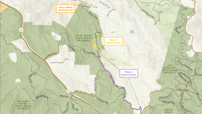
The project was completed in two phases:
Phase I: Addressed erosion and trail stability concerns by repairing existing drainage and stability features and constructing new ones where necessary. Construction on several significant culvert replacements and improved surface drainage features on a section of Alpine Road extending from the informal bypass trail to Page Mill Road was completed in 2022. Two retaining walls were installed to improve stability and address erosion concerns where Alpine Road and Ciervos Road meet. Construction on the retaining walls concluded in fall 2023.
Phase II: Constructed a new, more sustainable bypass trail alignment to replace the existing informal bypass trail which does not meet District standards for trail width and grade. A majority of the new trail construction was completed in spring 2023 while the final construction season to remove the informal bypass trail and create connections to the new bypass trail was completed in spring 2024.

Stay informed!
Alpine Road Photos

Funding
Additional Funding
This project is also made possible in part by a generous $272,211 grant award from Santa Clara County in June 2022. We appreciate our partnership with the County to complete this important project.
