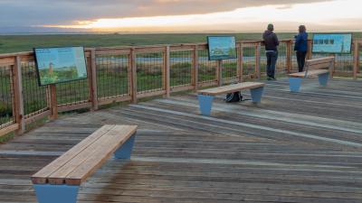
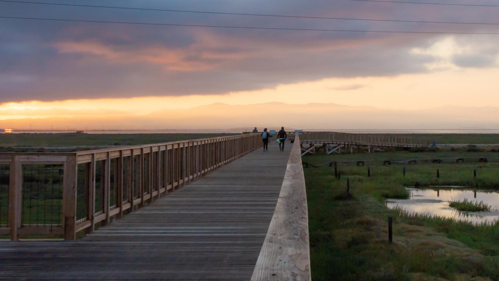
The Ravenswood Bay Trail project closed a 0.6-mile critical gap in the San Francisco Bay Trail on the peninsula, between University Avenue and Ravenswood Preserve. Completing this trail gap connected 80 miles of continuous Bay Trail connecting from Menlo Park to Sunnyvale and across the Dumbarton Bridge to the East Bay.


Goals
The new trail segment at Ravenswood Preserve provides:
- improved access to the bay for the East Palo Alto and Menlo Park communities
- opportunities for outdoor enthusiasts, including hikers, joggers and bicyclists
- a setting for wildlife viewing and environmental education
- important commute alternatives for cyclists
Construction
The project included both trail construction and wetlands restoration:
- Redwood boardwalk and bridge over sensitive wetlands
- New and resurfaced asphalt multi-use trail through the preserve between University Avenue and Bay Road
- Concrete sidewalk linking the University Village neighborhood to the new trailhead at University Avenue
- Interpretive educational panels
- Restoration seeding along new trail
- High-tide refuge islands for wildlife within Cooley Marsh.
- Vegetation planting of high-tide transition zone along the levee Bay Trail.

Closing a Critical Gap in the Bay Trail
Midpen Senior Capital Project Manager Scott Reeves presented this case study at the California Trails & Greenways Conference on April 15, 2021. From planning, design, permitting, and construction, this presentation highlights the complexities of the project and post-construction usership data amid the COVID pandemic.
Project Schedule
| August 2020 | Trail opened |
| 2019-2020 | Construction |
| 2018-2019 | Permitting |
| 2017-2019 | Design and Engineering |

Funding Partners
Trail Planning
- Association of Bay Area Governments/Coastal Conservancy: $40,000
Trail Design and Permitting
- County of San Mateo Measure K: $1,000,000
- Santa Clara County Measure A: $400,000
Trail Construction
- California Natural Resources Agency – Urban Greening Grant: $1,055,328
- Facebook: $300,000
- Caltrans: $700,000
San Francisco Bay Trail
The San Francisco Bay Trail is a planned 500-mile walking and cycling path around the entire San Francisco Bay running through all nine Bay Area counties, 47 cities and across seven toll bridges. With over 350 miles in place, the Bay Trail connects communities to parks, open spaces, schools, transit and to each other, and also provides a great alternative commute corridor. Established in 1989, the Bay Trail is celebrating its 30th anniversary.
Related Projects


