A Multi-Benefit Approach to Wildland Fire Resilience
Published December 4, 2025
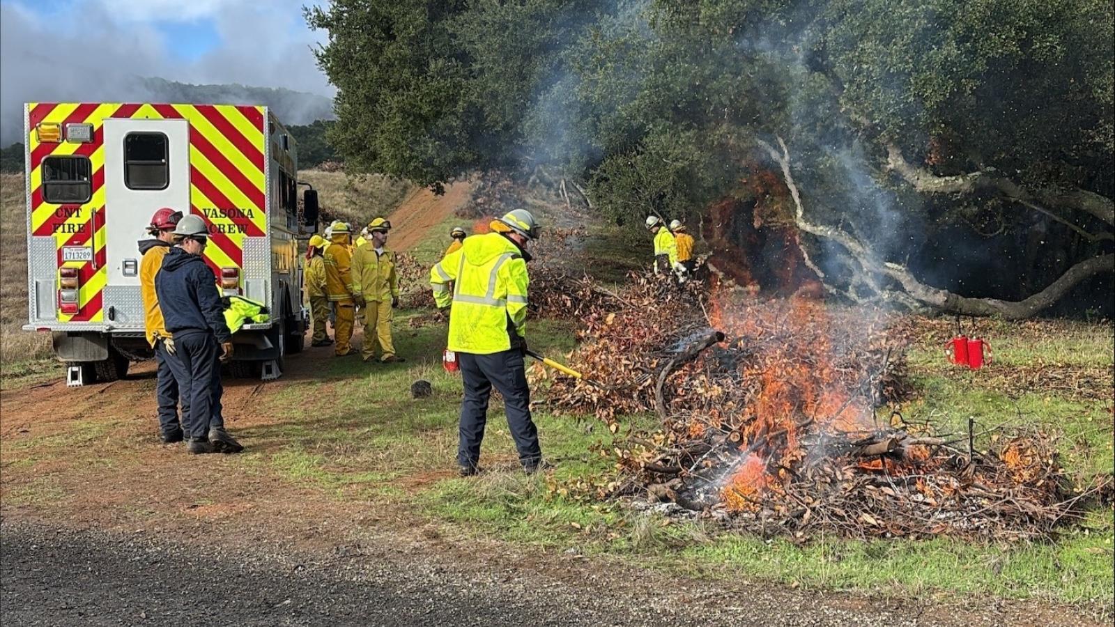
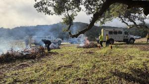
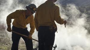
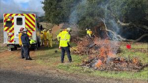
While we may be heading into winter, wildfire resilience work doesn’t stop. Midpen, in partnership with Santa Clara County Fire, is conducting pile-burn operations through December 2025 in a closed area of Sierra Azul Open Space Preserve. Pile burning disposes of accumulated brush and woody debris. With this project, we are specifically targeting smaller vegetation and low branches known as ladder fuels within an oak woodland area to prepare it for a potential prescribed fire in subsequent years and bolster the land’s resilience to potential unplanned wildfires. Pile burning offers several ecological advantages, including returning essential nutrients to the soil and stimulating the germination of native plant species that depend on fire to germinate, supporting the natural biodiversity.
The piles were built on the tail-end of the fire season with help from members of the San Jose Conservation Corps and Charter School. The Corps provides job training and exposure to careers in conservation for young adults.
“In alignment with our ecologically sensitive vegetation management practices, we are not removing any vegetation that will change the composition of the oak woodland habitat,” explained Chelsea Young, Midpen Field Resource Specialist and the project manager. “It’s important for us to ensure the integrity of the ecosystem remains intact.”
Enhancing Fire Modeling with NASA
The pile burning in Sierra Azul Preserve includes a unique collaboration with fire scientists at the NASA Ames Research Center in Mountain View.
NASA has recently developed a specialized map using satellite imagery to predict which vegetation types are more likely to generate and spread burning embers, also called firebrands, in high winds.
Midpen’s pile burns will offer a real-world opportunity to collect data about the temperature and the density of embers created by different vegetation types.
This ember data will be used to validate and refine NASA’s modeling, generate detailed maps of potential vegetation ember sources across California’s wildlands and improve regional wildfire risk assessment.