It took Midpen planning department interns more than three years to walk all 254.7 miles of Midpen’s trails. Every step of the way, they were tasked with gathering data on trail steepness, elevation, width, shadiness, surface material and more.
Our award-winning Geographic Information Systems (GIS) team took those thousands of collected data points and turned them into a user-friendly web-based app called Trail Explorer, which just launched for public use on November 15; International GIS day.
“We’re really excited to share this new tool with the public,” Midpen GIS program administrator Jamie Hawk, who led the development of the app, said. “It’s the first of its kind. We don’t know of any other agency that offers this level of detail and accuracy about recreational trails to their visitors.”
The Trail Explorer tool provides an interactive online experience designed to help preserve visitors plan an outing before they head out to a Midpen preserve. The app is accessible through a web browser from an internet-connected device. Visitors can filter for up to 10 different trail criteria and identify specific Midpen trails that meet their desired experience.
Inspiration for this app was reinforced by the results of two in-person preserve-user surveys Midpen conducted in 2018 and 2020.
“Two-thirds of our surveyed visitors agreed that slope, or trail steepness, is critical to their trip planning,” Midpen data analyst Francisco Lopez Tapia, who designed and built the app, said. “That’s why we feature slope prominently on the map with bold, intuitive colors.”
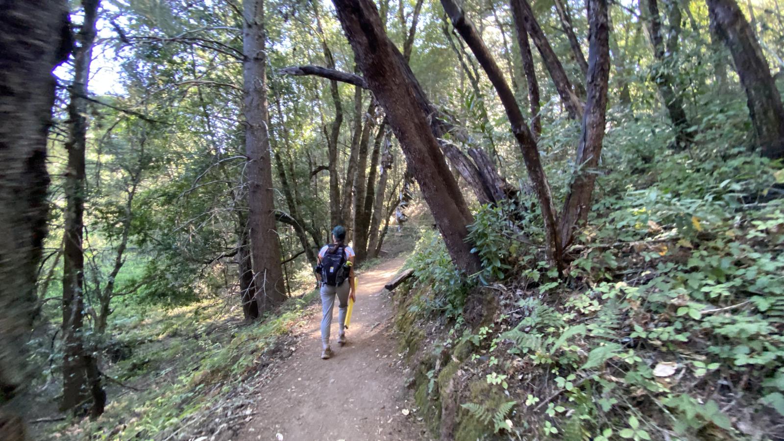
Midpen’s enduring mission of open space preservation, environmental restoration and ecologically sensitive public enjoyment makes a visit to our preserves distinct. Midpen trails can be remote, providing a wildland experience in nature very different from a city or county park.
Midpen adheres to a Leave No Trace ethic, meaning visitors must leave nature as they found it by taking out everything that they bring in, while respecting the plants and wildlife who make the preserves their home and refuge.

Rapidly advancing technology may seem to be at odds with open space preservation, however, new technologies such as digital mapping, apps, cameras and software are essential to Midpen’s work. These tools help us understand and adapt to an ever-changing world, care for the natural environment and support the public in learning about and visiting the preserves.
One way Midpen staff carry out and balance the different tenets of our mission is by putting a lot of care, thought, technical analysis and public input into where and how we build trails and which uses are compatible in specific areas.
The result is a large system of public trails spanning the Peninsula, South Bay and San Mateo County coast that is protective of the natural environment while providing a variety of experiences in nature. These range from tranquil areas for contemplative nature study to places that families with a wide range of abilities and mobilities can enjoy together, challenging routes for those looking to exercise outdoors and more.
The increase in visitation during the pandemic underscored the role Midpen’s public trails, which are free and open daily, play in providing our community with equitable access to nature for the physical, mental and emotional health benefits they provide.
This article was originally published in the Winter Views 2023 newsletter under, New Midpen App First of its Kind: Interactive Trail-Finding Tool Inspired by Visitor Input.