Overview
El Corte de Madera Creek Open Space Preserve Watershed Protection Program and other related trail upgrades and drainage improvements have been implemented to:
- Prevent sedimentation in Lawrence and El Corte de Madera creeks in order to improve water quality for downstream fish.
- Improve overall watershed health.
- Enhance the trail experience for preserve visitors.
The Watershed Protection Program helps protect and restore ecological integrity, while allowing opportunities for safe and ecologically sensitive public enjoyment and education. With research beginning in 2002 and official launch in 2004, the program implemented long-term solutions to erosion and creek sedimentation problems caused in part by old logging roads. A major portion of the work focused on improving the road and trail system and stream crossings. The program also included maintenance and monitoring of streams and trails. The final scientific study demonstrating the program's success was completed in 2020. With the restoration work complete, the preserve is now undergoing maintenance and monitoring under Midpen's best management practices, to which the discoveries from this watershed program have contributed.
Video
Watch this short video to experience El Corte de Madera Creek Preserve and what's been done to protect the watershed and create engaging public access:
Watershed Health
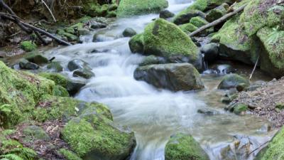
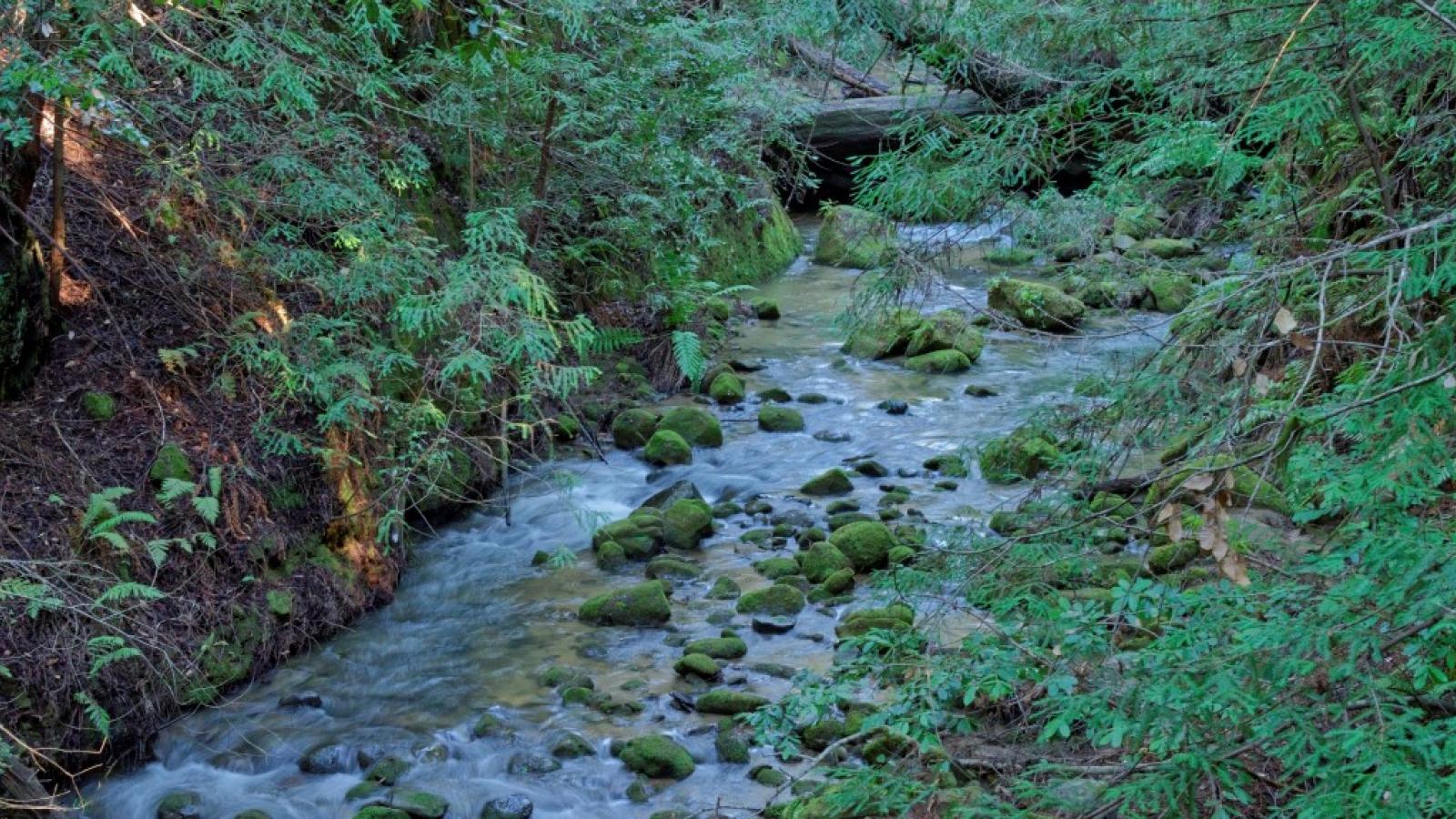
The El Corte de Madera Creek Preserve encompasses 2,906 acres in the upper headwaters of the San Gregorio Creek watershed. This watershed provides critical habitat for steelhead trout (Oncorhynchus mykiss irideus) and coho salmon (Oncorhynchus kisutch). Steelhead are federally listed as a threatened species, and coho salmon are listed by state and federal agencies as endangered on California's central coast. These species have experienced dramatic population declines primarily due to habitat loss from streambed sedimentation associated with water diversions, road construction, mining, grazing and timber harvest activities.
This preserve offers a unique and complex challenge to Midpen and its partnering agencies. Not only does the preserve occupy a key location within the San Gregorio Creek watershed with sensitive fish habitat, but its extensive network of former logging roads makes it extremely popular among mountain bikers, hikers and equestrians. To balance the health of the watershed (and of the people and animals who depend on it) with recreational uses, Midpen partnered with the National Marine Fisheries Service, California Department of Fish and Wildlife and the Regional Water Quality Control Board to create a comprehensive program for the preserve.
Restoration Work
Midpen inherited a network of roads from the logging era when it purchased the land. Most erosion in the preserve could be traced to undersized or failing drainage culverts and the intersections of old logging roads with streams. These logging roads were constructed using heavy equipment and it turns out that the most effective restoration work has been accomplished using some of the same sized equipment.

Over the course of many years, watershed restoration took place on 24 miles of trail in the preserve, including the construction of 10 bridges and six puncheons (small creek crossings). Five miles of road were returned to a more natural state and numerous culverts were replaced or removed.
Evidence of the restoration work is only temporary. Vegetation is beginning to flourish in the creek areas that were long buried by logging road construction debris. Future trail users will not recognize the former logging roads as they enjoy pleasant trails winding through the redwood forest.
Final phases of the Watershed Protection Program, including the new Oljon Trail and the scientific study below, were funded thanks to voter-approved Measure AA.
Scientific Results
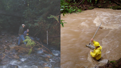
Going into this project, Midpen knew that it would require development of a scientific study customized to evaluate the program's effectiveness. Midpen worked with Balance Hydrologics from 2004 to 2009 to develop and implement an annual stream and sediment monitoring program. The monitoring data provided a baseline to compare with monitoring data gathered and analyzed between 2018 and 2020, at the end of the restoration work.

Three separate lines of scientific evidence all indicate that the program’s restoration work has had a positive impact on the health of the watershed by ensuring that less sediment is entering the streams and that downstream salmonid habitat has improved as a result of the restoration work. Here’s an overview of the findings from the three monitoring study techniques:
- Stream gaging and sediment sampling during winter storms shows that approximately 62% less fine sediment is leaving the preserve than before when comparing storms of equal size.
- Streambed texture data that counts the size of streambed materials (sands, gravels, cobbles and boulders) reveals a 24% decrease in surface sedimentation and a 3% increase in exposed gravels, which directly benefits salmonids.
- Sediment probe measurements in stream pools (V-Star method) indicate that sedimentation dropped 15%.
To get more details about the study you can read the executive summary and you can read the complete scientific report as presented to the board of directors. Midpen is discussing the results with scientists and other land managers to help inform other watershed restoration and monitoring projects in the Santa Cruz Mountains and beyond.
Experience the Watershed
Plan your visit to El Corte de Madera Creek Preserve. For ongoing watershed protection, this preserve is closed to all off-trail use and swimming, wading and other water activities are not allowed in all Midpen preserves. Streams and ponds are habitat for many wild creatures.


