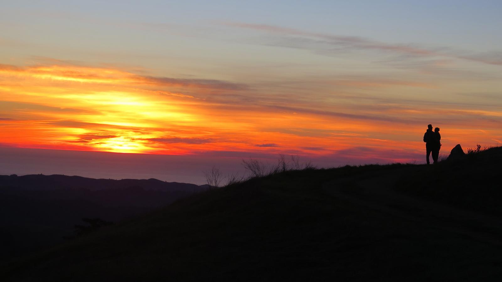
Taking your valentine hiking, biking or horseback riding in a Midpen preserve is a romantic (and free) way to celebrate your love for each other and nature. Whether you are first-timers or experienced outdoor enthusiasts, here are magical vistas you can enjoy with that special someone. These are organized in subjective order of difficulty, from easiest to hardest to access. Check the preserve page for specific activity restrictions and trail conditions or closures. You don’t want to bum out your date!
Mount Umunhum, Sierra Azul Preserve
At 3,486 feet, Mount Umunhum is one of the highest peaks in the Santa Cruz Mountains. The 360-degree views stretch from the Pacific Ocean to the Sierra Nevada range. Because you can drive right up to the summit and park, it’s a must see for people of all ages and abilities. While you take in the breathtaking views, learn about Mount Umunhum’s significance to the Native American community that dates back thousands of years and the mountain’s role as part of the West Coast's air defense system in the late 1950s to 1980.
Getting there: The Mount Umunhum Summit Parking Area is located at the top of Mt. Umunhum Road, approximately 5.3 miles past the intersection with Hicks Road. Note that the road is steep, narrow and winding with blind curves. Alternatively, you can hike the 3.7-mile Mt. Umunhum Trail from the Bald Mountain parking area to the summit. More info.
Windy Hill, Windy Hill Preserve
Windy Hill is another great spot to enjoy the magic of 360-degree views of the San Francisco Bay, the Santa Cruz Mountains and the Pacific Ocean. It was named for its breezy grass-covered hilltop, which can be seen from many areas of the Peninsula.
Getting there: There are two small parking areas along Skyline Boulevard/Highway 35, close to the top of Windy Hill. One lot is at gate WH01 and the other is 0.4 miles south. Both lots are starting points for the short Anniversary Trail, which takes you to the Windy Hill peak (1,905 feet) in less than 0.4 miles. More info.
Borel Hill, Russian Ridge Preserve
Enjoy the breathtaking 360-degree views of the San Francisco Bay, the Santa Cruz Mountains and the Pacific Ocean. At 2,572 feet, Borel Hill is the highest named point in San Mateo County. The vista point parking lot nearby also has great views of the Bay.
Getting there: From the vista point lot on Skyline Boulevard/Highway 35, carefully cross the road and take the Ridge Trail 0.5 miles up to the hill. If you park at the main lot on Alpine Road and Skyline, the hill is 0.7 miles on the Ridge Trail. More info.
Whittemore Gulch Trail, Purisima Creek Redwoods Preserve
Experience spectacular views out over the western slopes of the Santa Cruz Mountains out to Half Moon Bay and the Pacific Ocean. This trail is closed to bicyclists and equestrians in wet conditions.
Getting there: Park at the northernmost lot on Skyline Boulevard/Highway 35 at gate PC01. Take the North Ridge Trail 1.0 mile and turn left onto the Whittemore Gulch Trail. You’ll get to multiple vistas as you wind along the first 0.6 miles of the ridge. More info.
Harrington Creek Trail, La Honda Creek Preserve
Enjoy the rolling hillsides of historic ranchlands as you hike out to a magnificent view out over the San Gregorio watershed to the Pacific Ocean. Note that you may be joined by a few cows, part of our conservation grazing program. Midpen partners with small, local ranchers to use conservation grazing with cattle to control nonnative vegetation, which allows native grassland species to compete, and reduces the build up of fuels for wildland fire prevention. (Alternate: You can get even wider views by getting a no-fee permit to explore Upper La Honda Creek Preserve and hiking out to Coho Vista.)
Getting there: Park at the Sears Ranch Road parking lot off of Highway 84/La Honda Road in La Honda. Hike approximately 3 miles on the Harrington Creek Trail just past a small pond to get to the view (before junction 02). More info.
Black Mountain, Monte Bello Preserve
At 2,812 feet, Black Mountain offers incredible views of the Santa Clara Valley and over to the Mount Hamilton in the Diablo Range. For the adventuresome, get a permit to camp at the Black Mountain Backpack Camp to experience the sunrise.
Getting there: Park at the main preserve lot on Page Mill Road. Black Mountain is approximately 2.5 miles away via Canyon, Bella Vista, Old Ranch and Indian Creek trails with the final stretch on Monte Bello Road. More info.
Dusky-Footed Woodrat Trail, Pulgas Ridge Preserve
Stop and enjoy beautiful views down to San Francisco Bay as you wind along the ridgeline on the top portion of the Dusky-Footed Woodrat Trail. You ascend to the ridge via other trails, and a loop route is about 3.8 miles. This preserve is perfect for dog lovers, as all the trails allow dogs on leash (plus there is also an off-leash area in the preserve).
Getting there: Park at the main lot on Edmonds Road. The Woodrat Trail is accessible via the Cordilleras Trail or by taking the Blue Oak Trail to a left on the Hassler Trail. More info.
Remember: Check the preserve page for specific activity restrictions and trail conditions or closures.
Share your adventures with us! Tag Midpen on Facebook, Instagram or Twitter and show us your photos and videos of the places in the preserves you love to visit.

